
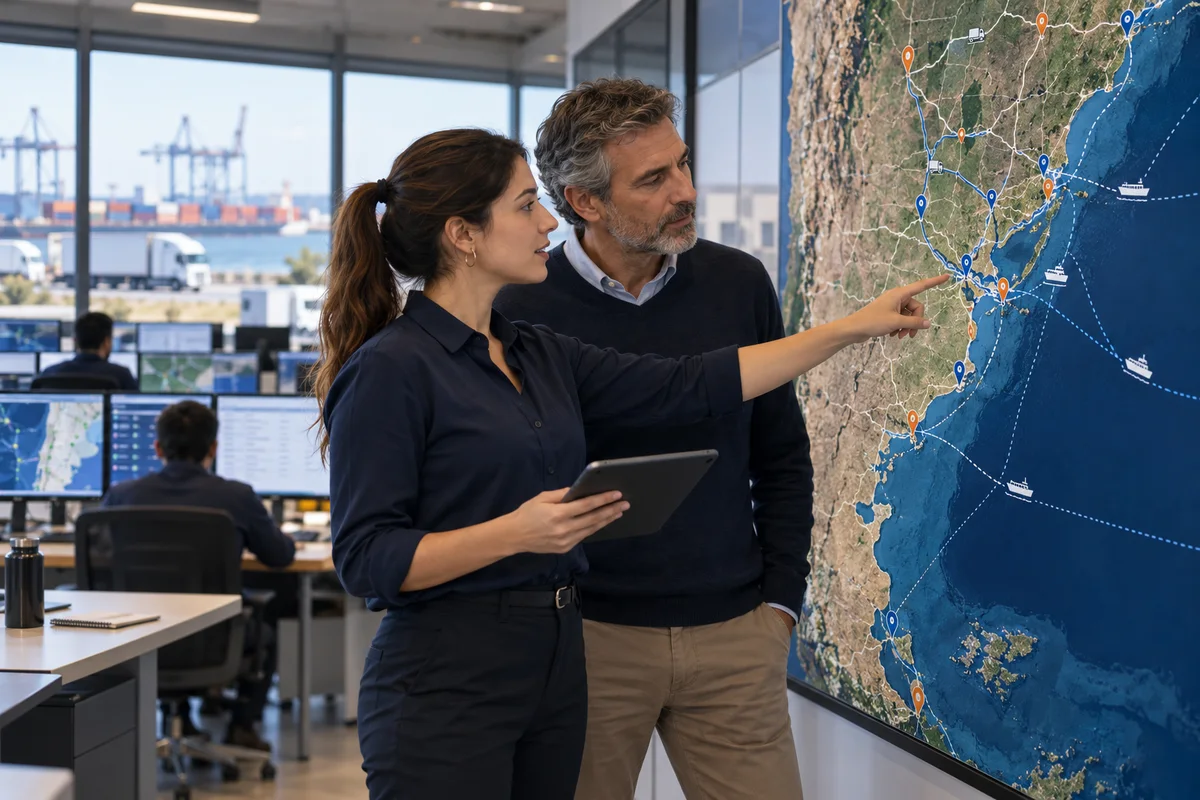
Your operation has a territory. Now it has a workspace.
Locate what matters, draw zones and routes, and organize trips using vehicles already in Kunjuk. For distributors, service businesses and public organizations.
The map is where the work starts.
Select a point to see its context. Mark a destination, save an access note or draw a delivery area. Forms appear when you need them.
Request a demonstrationOpen LogisticsUser guideThe operational demonstration uses fictional data and authorized access. The service is enabled by organization.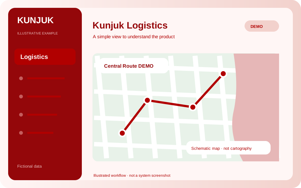
From place to route. From route to trip.
- 01
Prepare your map
Create private maps, maps for one department or your whole organization. Separate operations and save your views.
- 02
Locate and draw
Points, geographic notes, zones and manual routes with colors, categories, responsible users and files.
- 03
Assign the trip
Choose a route, an existing Fleet vehicle, a responsible person and planned departure.
- 04
Review the records
Explore statuses and change history. Filter layers and export visible elements as GeoJSON.
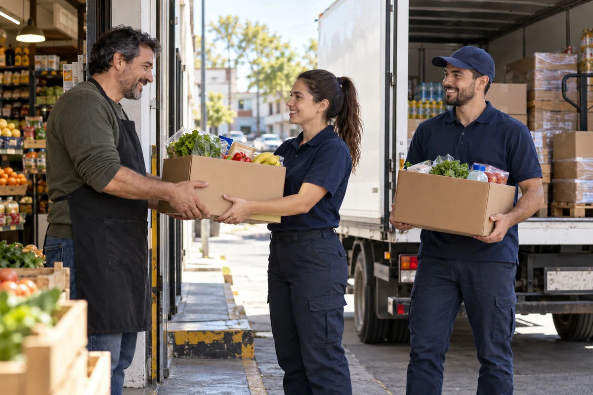
Distribution moves the goods.
Logistics organizes the territory.
Add Inventory and Distribution for orders, reservations, dispatches and returns. Add Fleet for maintenance and documents. Each client enables the combination it needs.
Explore DistributionA first stage with a clear scope.
Locations and statuses are recorded manually. GPS, live positions, route playback, automatic geofences and real-distance analysis require future stages and a compatible provider.
Current distances correspond to manually drawn routes. Street-based calculations, estimated durations and external address search require integration.